Sightsee while you jog!
The paths along the Rhine are maybe an obvious choice for both locals and visitors to the city who want to get some exercise. However, Cologne has a number of gorgeous parks and other green spaces that are great for running. Our writer Ralf Johnen puts the best routes to the test.
From the canals to Stadtwald forest
My favourite trail starts at Innere Kanalstraße, a busy arterial road that I like to leave behind me as soon as I can. The getaway route takes me along Clarenbach canal, which leads west in a straight line. Lined with tall chestnuts, the canal is home to a large number of swans, an attraction in and of itself, and the canal’s only bridge is picturesque enough to invite a fleeting comparison with Venice. At the far end is the church of Sankt Christi Auferstehung, which was designed by famed architect Gottfried Böhm, but pressing on I turn left, then right to arrive at Rautenstrauch canal. Those unfamiliar with the neighbourhood will be surprised by this urban yet generously pedestrianised idyll, making it one of Cologne’s most desirable residential areas. I cross Äußere Kanalstraße, deftly avoiding the trams, and enter the Stadtwald forest to commence a 3 km circular counter-clockwise route that leads me up a small hill. This is my favourite part of the route; on summer nights I’ve even heard owls calling. Finally, I pass by the pond, retrace my path back to canals and head for home.
Start point: Danteweg/Clarenbachstraße; length approx. 6.2 km. Trail on Google Maps.


From Stadtgarten to Cologne’s highest point
Stadtgarten as the starting point for a run? That’s not just a good idea if you want an audience. At the western end of the pretty park is a path leading up to a gentle hill; I pursue it further, passing a series of allotments, and keep going. Soon I’m at Mediapark and its landmark 148-m Jean Nouvel-designed tower known as KölnTurm, and keep going round the back of the tower to loop around the grassy expanse dotted with sunbathers before returning to the distinctive bridge that leads across the tracks. I arrive at Herkulesberg, Cologne’s highest point. Originally a pile of rubble from World War II, the hill boasts a whopping 25 m in altitude which, my calves tell me, is more challenging than it looks. Once I’m at the summit, I turn right and descend to the far reaches of leafy Innerer Grüngürtel. Then taking the flat route towards Subbelrather Straße, I climb Herkulesberg a second time before returning to my point of departure at Stadtgarten. A lovely varied route that’s not too long.
Start point: Stadtgarten, entrance next to the beer garden; length 4.6 km. Trail on Google Maps.


The riverside classic: The bridge loop
This path is hardly an insider tip, but it has touristic value and is highly adaptable thanks to the seven bridges that span the Rhine between Mülheim and Rodenkirchen. I prefer the section closest to the city centre, commencing my circular route just below the cathedral and Museum Ludwig. I run past the colourful houses on Fischmarkt and the jetties towards Deutz bridge and on to the Malakoff tower that guards the entrance to the Rheinauhafen, entering Zollhafen via the old swing bridge. I pass the Chocolate Museum, the German Sports and Olympic Museum, the spectacular Kranhäuser structures and the former storage and granary buildings that are known locally as Siebengebirge (or “seven hills”). Soon after I get to the Südbrücke, a railroad bridge offering panoramic views and a handy option for crossing over to Deutz. I turn north to enjoy the view of the Rhine, the skyline and the Cathedral before using another swing bridge to enter Deutzer Hafen and climb up to Hohenzollern bridge beyond – another Instastory-worthy view! The last ascent takes me up the steps back to my starting point.
Starting point: Anywhere along the Rhine; length 7 km. Trail on Google Maps.


Extended route through the green heart of Cologne
The lake known as Aachener Weiher is an ideal starting point for the longest route in this collection, because the only non-green section of it is negotiated at the very start. I start by crossing Hiroshima Nagasaki Park, which south of Bachemer Straße turns into a pretty sycamore-lined avenue. At the far end I cross Luxemburger Straße to arrive at Eifeler Wall, the only urban residential section along the route. This take me to the back end of Volksgarten park, which I loop through before turning right towards Vorgebirgspark. This elongated section of greenery leads me between Zollstock and Raderberg towards Militärgürtel, which I cross via a banged-up bridge. Turning right, I run through Äußerer Grüngürtel, passing the pond known as Kalscheurer Weiher, to arrive at Eifeltor. Then another half a km along Militärring before turning back into the Grüngürtel behind the railway tunnel. Beyond Luxemburger Straße is the next idyllic section, around Decksteiner Weiher lake. I run along Bachemer Landstraße and the S-Bahn tracks to Frechen before heading for yet another banged-up bridge to cross into the Stadtwald forest. From here, I take the path described in route 1 to return to my starting point.
Starting point: Aachener Weiher; length 17.3 km. Trail on Google Maps.


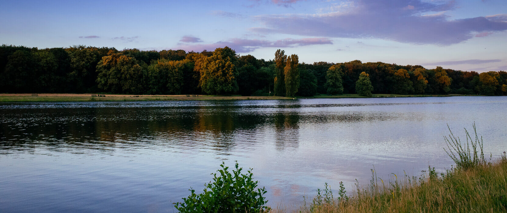
Around Decksteiner Weiher
This lakeside run is a must, not just for football fans! The route starts at the training grounds of Cologne’s local football team, known affectionately as “Effzeh”. From here it’s a stone’s throw from the artificial lake that was created in the late 1920s on the initiative of the then lord mayor Konrad Adenauer. I run towards the southern edge of the lake, respectfully eyeing the bodybuilders who are using the area as an open-air gym. I continue in zig-zag fashion towards a gorgeous avenue that takes me almost to the northern edge of the lake. Two bends to the right and I am at Haus am See, a traditional restaurant and café popular with locals. Another two right-hand turns lead me towards the elongated section of the pond that’s a favourite with rowers. Then comes the long straight stretch towards my starting point, the football club’s training grounds. This is a lovely run at any time of year which of course can be repeated to suit your energy levels. Bear in mind that you need to cross Gleueler Straße twice per loop.
Starting point: Training grounds at Franz-Kremer-Allee; length 5.6 km. Trail on Google Maps.


Leave a Comment